Honestly, if you're looking at the Sugar Mountain weather forecast from a generic app on your phone while sitting in Charlotte or Raleigh, you're basically guessing. Sugar is a different beast. It's a "mile-high" peak that creates its own little chaotic microclimate. One minute you’ve got a clear sky at the base, and five minutes later, you’re in a whiteout at the 5,300-foot summit.
Currently, as of January 18, 2026, things are getting real.
The temperature is sitting at 27°F right now, but it feels like 18°F thanks to a stiff 8 mph wind coming out of the northwest. It's cloudy, and there's a 10% chance of snow tonight. But don't let those "small" numbers fool you. On this mountain, a 10% chance often turns into a surprise dusting that catches everyone without 4WD off guard.
Why the Sugar Mountain Weather Forecast is So Tricky
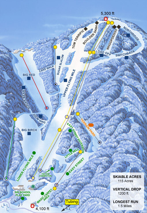
Most people don't realize there’s a massive 1,200-foot elevation gain between the ski lodge and the summit. That gap is everything.
Today, Sunday, January 18, we're looking at a high of 27°F and a low of 18°F. Expect light snow during the day with a 20% chance of precipitation, followed by a clear night. But here is the kicker: that northwest wind is jumping up to 12 mph. Up at the top of Gunther's Way, that wind is going to feel like a slap in the face.
The summit is usually about 5 to 10 degrees colder than the base. If the lodge says it's a "balmy" 30 degrees, you better have your face mask ready for the lift ride to the top.
The Upcoming Arctic Punch
If you're planning to head up tomorrow, Monday, January 19, be ready for a deep freeze.
The high is only hitting 30°F, and the low is plummeting to a bone-chilling 10°F. It’ll be sunny, which sounds nice for photos, but that northwest wind is cranking up to 16 mph. That’s "frozen goggles" territory.
Tuesday stays just as brutal with a high of 28°F and another 10°F night. If you aren't wearing moisture-wicking layers, you’re going to have a bad time. Seriously, leave the cotton hoodies at home.
Snow Totals and Surface Reality
Right now, the mountain has a base depth of about 33 to 63 inches. That’s a mix of natural powder and the "man-made" stuff they blast out of the guns.
- Monday (Jan 19): Sunny, High 30°F, Low 10°F. Wind 16 mph NW.
- Tuesday (Jan 20): Sunny, High 28°F, Low 10°F. Wind 13 mph NW.
- Wednesday (Jan 21): Cloudy, High 41°F, Low 19°F. 25% chance of night snow.
- Thursday (Jan 22): Light snow, High 37°F, Low 21°F. Wind 17 mph NW.
Wednesday is a weird one. We see a spike to 41°F, which might soften the snow, but then it drops back down for snow showers at night. This is the classic Sugar Mountain cycle: thaw, freeze, then refresh.
Driving is the Real Test
You've got to understand the roads here. Sugar Mountain Drive, the main vein from NC 184 up to the resort, is usually kept clear. But if you’re staying in a rental higher up the mountain, 4WD or chains aren't just a suggestion—they’re often required by law when it’s snowing.
People get stuck every single weekend because they think their front-wheel-drive sedan can handle "just a little" ice. It can't. Not on these grades.
Pro Tips for Your Trip
Don't trust the "feels like" temp on your phone. It doesn't account for the wind tunnel effect on the Northridge slope.
- Check the cams: Before you leave your rental, look at the live webcams on the resort's site. If the trees at the top are bending, you need an extra layer.
- Goggles are mandatory: Even if it’s not snowing, those snow guns will be screaming. They’ll coat your eyelashes in ice in seconds.
- Hydrate: You’re at high altitude. You’ll get a headache faster than you think if you’re just pounding coffee and beer.
The Sugar Mountain weather forecast shows a warming trend toward the end of next week, with Friday and Saturday (Jan 23-24) hitting 48°F. That’s "spring skiing" weather. It’ll be slushy by noon, so get your runs in early before the "mashed potatoes" take over the trails.
To make the most of the current conditions, aim for those early morning sessions on Monday and Tuesday when the groomers are fresh. Just make sure your gear is rated for those 10-degree lows. If you’re coming up later in the week, pack for rain/snow mixes on Sunday the 25th, as temperatures are expected to hover right around the freezing mark with a 45% chance of precipitation.
Keep your gas tank at least half full and always keep an ice scraper in the car. You don't want to be the person trying to scrape a windshield with a credit card while the wind is howling at 20 mph.